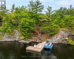
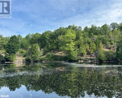
Kahshe Lake - (Gravenhurst)
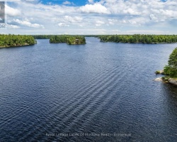
Kahshe Lake is situated in the Town of Gravenhurst south of the urban centre of Gravenhurst. Kahshe Lake flows into Sparrow Lake via the Kahshe and South Kahshe Rivers. It has several lakes located upstream including Three Mile Lake and Bass Lake.
Average traveling time from the GTA to Kahshe Lake - (Gravenhurst) is 1 hour 57 mins
This Lake Median Lake Average Lake | |
Kahshe Lake is 828 hectares (2046 Acres) in size The median size lake in our area is 71 hectares or 175 Acres (average size 398 hectares) | 828 71 398 |
|
Kahshe Lake has a maximum depth 21 meters (69 ft)
The median depth of lakes in our area is 13.5 m or 44 ft (average depth 18 m) | 21 13.5 18 |
| The median depth of Kahshe Lake is 5.00 m (16 ft) | 5.00 5.2 7 |
|
Kahshe Lake Perimeter 60.00 km (37.28 Miles)
The median perimiter of lakes in our area is 3.3 km or 2.05 miles (average Perimiter 3.61 km) | 60.00 3.3 4 |
| Kahshe Lake Island/s Perimeter 30.00 km (18.64 Miles) | |
|
Kahshe Lake Altitude 243 m (797 ft)
The median altitude of lakes in our area is 290 m or 951 ft (average Altitude is 289 m) | 243 290 289 |
|
Water Clarity of Kahshe Lake (median 3.2 m) 2.90 m (10ft)
The median Secchi Depth of lakes in our area is 3.2 m or 10 ft (average Secchi Depth is 3 m) | 2.90 3.2 3 |
| 14 % of Kahshe Lake shorline is wetland. The median percentage of shoreline which is wetland of lakes in our area is 9 % (average Percentage of shoreline which is wetland 10) % |
Percentage of Shoreline which is wetland 14 9 10 |
|
Kahshe Lake's phosphorus content in water is 12.50 ug/L
The median Phosphorus content in the water of lakes in our area is 8 ug/l (average Phosphorus content 9 ug/L | 12.50 8 9 |
| Kahshe Lake's watershed area feeding the Lake (excluding lake) 32.5 km2 (8031 acres) | |
| Lake Trout found in Kahshe Lake: No | |
| Drainage Basin of Kahshe Lake Kahshe River | |
| Kahshe Lake is in the Township of Morrison | |
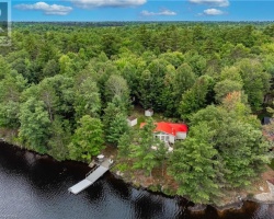
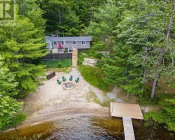
| Shoreline Development on Kahshe Lake is: high; commercial, shoreline residential | |
| Public Access to Kahshe Lake public; boat launch at west end of lake off South Kahshe Lake Road Boat Launch | |
| Water Level Management regulated; water level is controlled by MNR owned and operated dam at west end of lake; flows and levels are governed by Kahshe Lake operating plan | |
| Major Fish Species in Kahshe Lake (I 1939), (I 1993), muskellunge (I? 1945), (I 1991), (I? 1915), , (I 1952) | |
| Other Fish Species in Kahshe Lake .grass pickerel, cisco (), , (I 1975), ,, , trout-perch, golden shiner, bluntnose minnow | |
| Other Species in Kahshe Lake freshwater jellyfish (I 2010) | |
| Notes: E: extirpated, I: introduced – intentional or accidental, O: occasional, R: remnant, S: currently stocked, ?: status uncertain, 2009: year of first record or introduction if known, blank: presumed native | |
| Much of the above data for Kahshe Lake is compliments of the Muskoka Water Web maintained by The District Municipality of Muskoka | |
Maps of Kahshe Lake
Topographical Map of Kahshe Lake in Gravenhurst
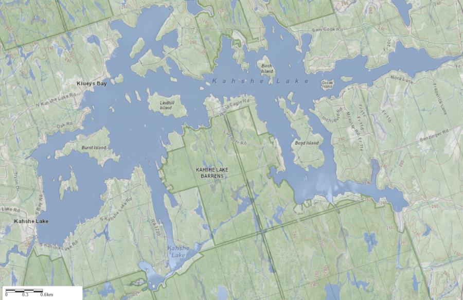
Legend
 Buildings surrounding Kahshe Lake
 Buildings surrounding Kahshe Lake
 Conservation Area surrounding Kahshe Lake
 Contours of land surrounding Kahshe Lake
 Index Contour
 Rapids
 Spot Height
 Water Falls
 Water Falls/Rapids
 Waterbody Elevation
 Watercourse
 Wetland surrounding Kahshe Lake
 Wooded Area surrounding Kahshe Lake
Zoning Map of Kahshe Lake in Gravenhurst
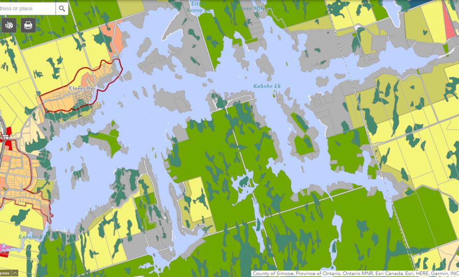
Legend of Gravenhurst Zoning Map - Kahshe Lake
Residential WaterfrontEnvironmentally Protected
Residential 1
Open Space
Rural
Residential Rural
Waterfront Landing
Residential Island
Commercial Recreational
Lake Contour Maps showing the depths of Kahshe Lake
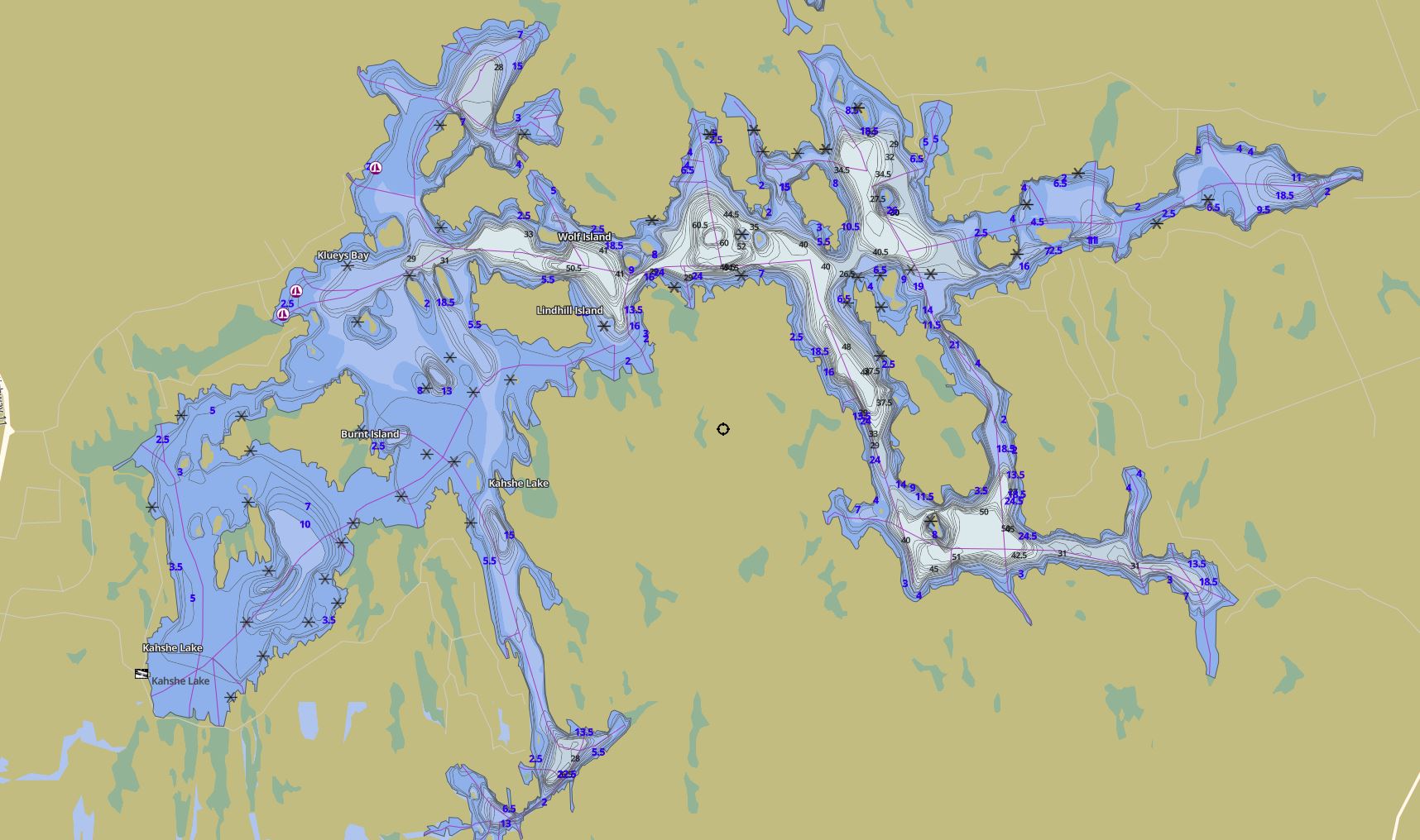
This map is courtesy of Gps Nautical Maps and you can purchase this map as an app from GpsNauticalCharts.com
All measurements of the countour map showing the depths of Kahshe Lake are in feet.